Why 67° East
Karachi lies about 67 degrees east of Greenwich. The 67th meridian runs almost exactly through the old town, close to where the fishing village of Kolachi stood before it became a city. 67 East is named after that line.
-
Karachi Port
Pakistan's busiest seaport, and the reason the city grew.
-
Shahrah-e-Faisal
The main road from the city centre to the airport. 67 East is just off it.
-
Jinnah International Airport
Karachi's airport, at the eastern end of Shahrah-e-Faisal. We can arrange a pick-up.
On the chart
Why a coordinate
We wanted a name that belongs to Karachi without saying Karachi. The city's longitude does that. It is specific to this place, and it reads the same to a guest from Lahore, Dubai or London.
It also leaves room to grow. For now, 67 East is sixteen rooms. The name works just as well for whatever we add next to it.
Between sea and sky
Most people arrive in Karachi through one of two places: the port, or Jinnah International Airport. 67 East is on Shahrah-e-Faisal, the road that joins the city centre to the airport.
Closer to home, the idea is just as real. The Pakistan Maritime Museum, with its submarine and ships, is 1.3 km north of the house. The PAF Museum, with its aircraft, is 600 m to the east.
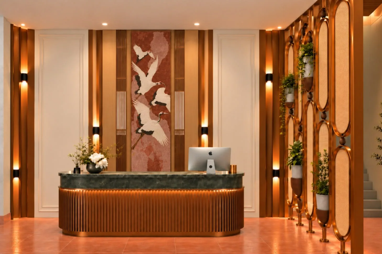
The mural behind reception shows cranes in flight, for the same reason: birds that cross the coast between the sea and the sky.
The room names
The Meridian
Named after the 67th meridian, the line Karachi stands on.
6 rooms, two beds each.
The Kolachi
Named after Kolachi, the fishing village Karachi grew from.
10 rooms, one double bed each.